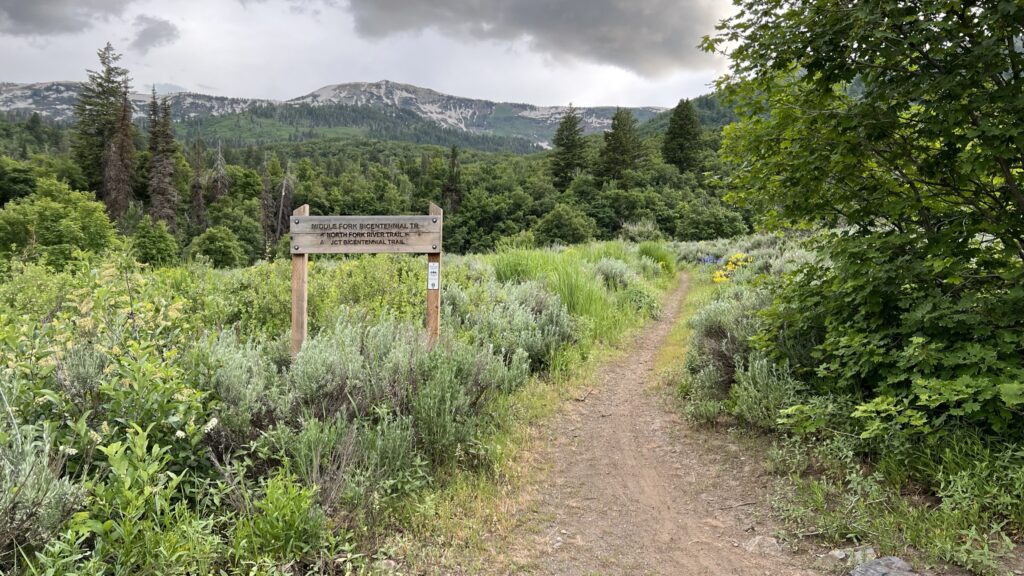
The North River Trail is a dirt road that is primarily used to get to other trails such as Traildemic, Bicentennial, Bicentennial Middle, Long Loop, Park View and Scrub Oak. The North River Trail itself is not anything special and if all you plan to do is ride this one trail, we would recommend hiking it instead. We rode it on June 28, 2023 after coming off a record snowfall winter season, and we don’t know if the road was bad before, or if the damage we observed was from the torrential spring runoff. The road is certainly still ride-able, just not a very fun ride. As such we are rating it beginner to intermediate. Beginner riders may need to walk some of the more challenging sections. This is probably a short term issue since the road is also used to access the Durfee Creek HOA area.
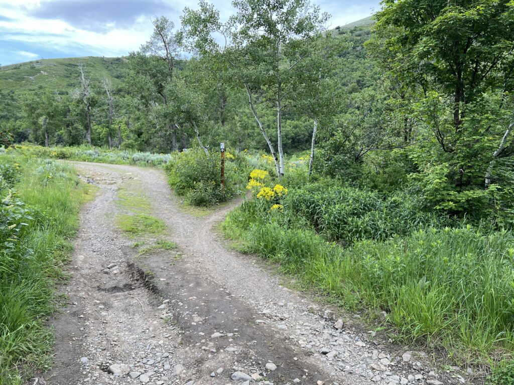
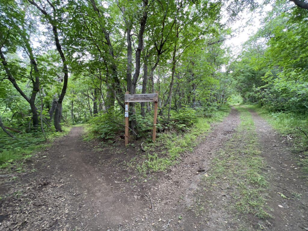
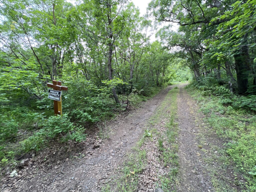
When we rode North River Trail we took the left fork near the top. The trail appears to end at a private property sign just past the Long Loop trail junction. We are not sure if the private property includes the road or not, but we turned around at that point just in case.
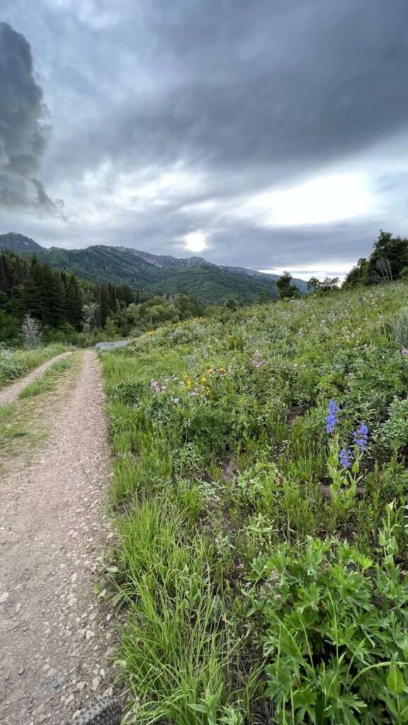
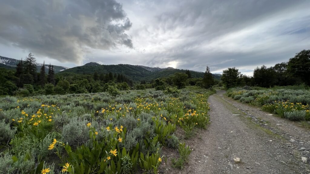
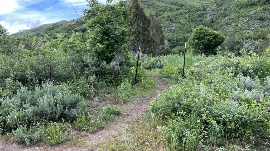
The first third of the trail begins with a downhill ride then turns to alternating uphill and downhill sections – after the first third it turns into a sustained climb to the top. The trail does feature some beautiful views in both directions. North River Trail is mostly exposed and will get very warm on hot days. There is a bit of relief from the sun at the bottom and near the top of the trail, but most of the trail is not shaded at all. You will pass over Cutler Creek near the bottom and the North Fork of the Ogden River twice. The river passes under the road in large culverts so no need to get your tires or feet wet.
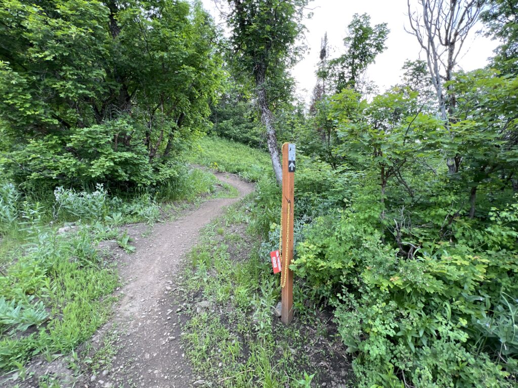
When descending North River Trail, if you are looking to jump onto Bicentennial Middle, it is very easy to miss. The trail is hiding behind a large tree and if you blink you will miss it and have to turn around and ride back uphill to get to it.
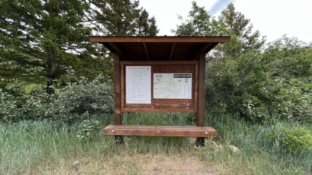
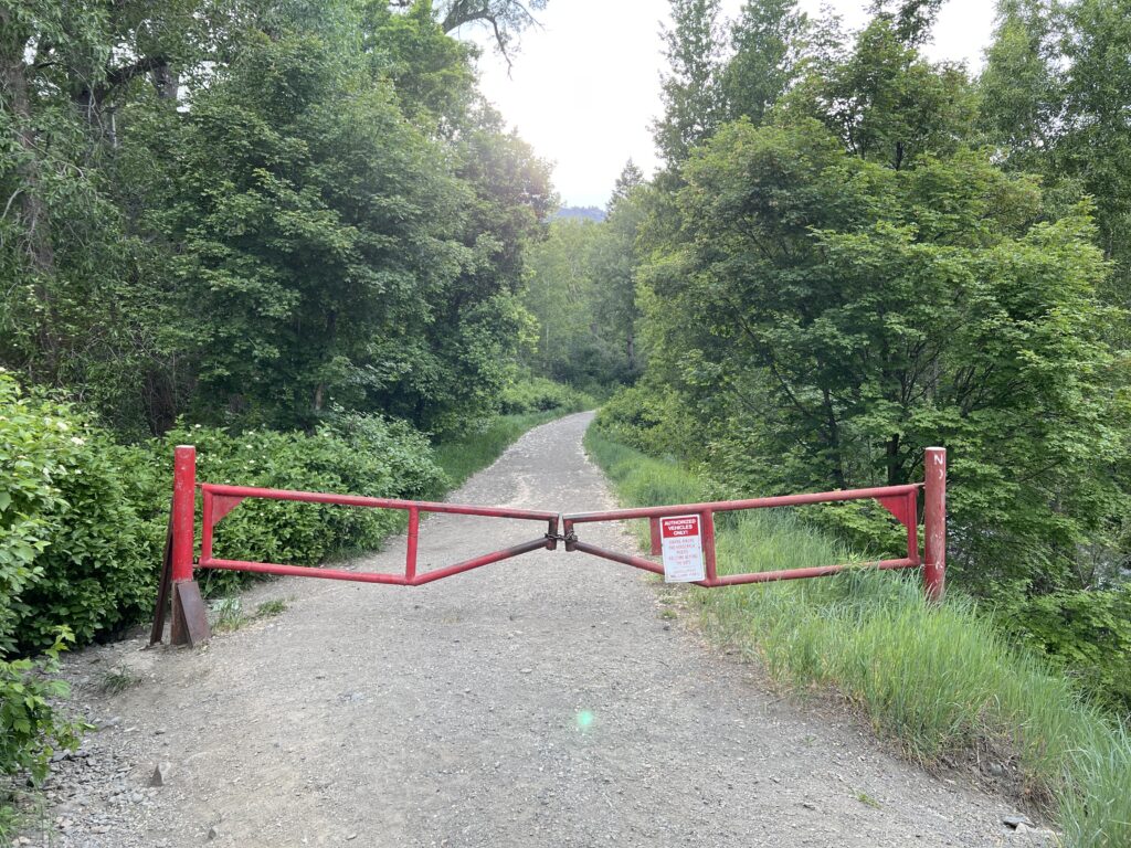
The North River Trail begins at the north end of the Cutler Flat campground and group area – look for the trailhead sign and then head west downhill towards the closed gate. There is a sign on the gate indicating that Bikes, Hikers and Horses are welcome – just go around the gate on the left.
Trail Map and Elevation Profile
Max elevation: 6112 ft
Min elevation: 5750 ft
Total climbing: 536 ft
Total descent: -223 ft
Trail Gallery