
North Fork Park
North Fork Park is a growing hub for Mountain Biking in the Ogden Valley. Trails are shared with Hikers and Equestrians as well.
North Fork Park Official Website North Fork Park Trail Conditions

Thanks to a recent focus on North Fork Park, there are new trails starting to pop up around the park. Many of these trails are easy to moderate with nothing terribly difficult. This is a great place for beginners as well as seasoned riders.
North Fork Park is a 2,600-acre camping and outdoor destination located on the eastern side of the Wasatch Mountains in Liberty, Utah. North Fork Park is maintained by Weber County and offers Camping, Hiking, Mountain Biking and horseback riding as well as group facilities. Campsites are available typically from May through October but is highly dependent on the weather. This is a great place to visit for a quick morning or evening ride, spending the day or even the weekend exploring everything the park has to offer.
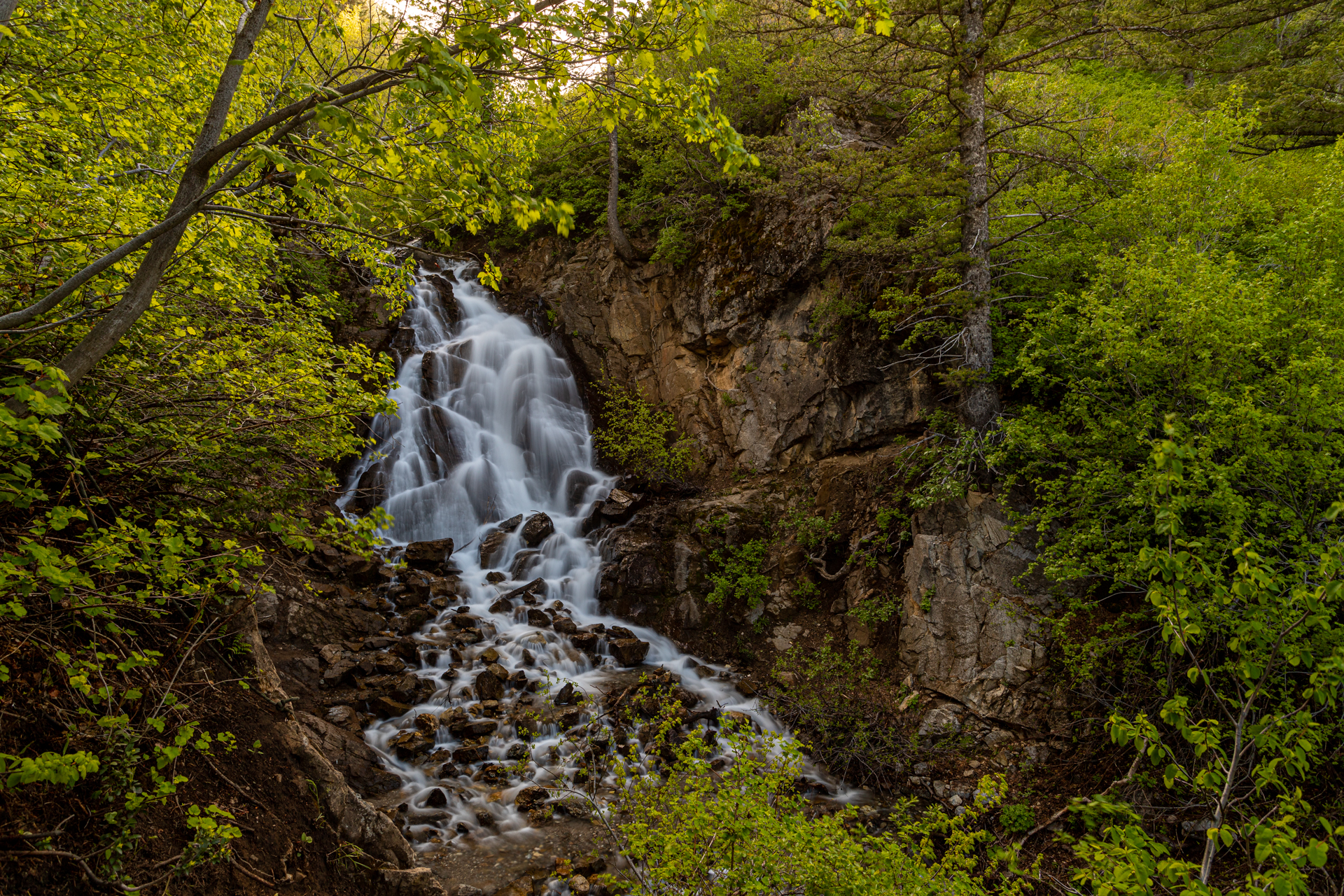 As a bonus, there is a short hike to a beautiful waterfall, especially during the spring. The waterfall trailhead is located at the end of the road going up the canyon on coldwater creek and is well signed, although steep in a few places. There are ropes at those steep spots at the waterfall to assist hikers to a view of the falls as well as the base.
Our favorite trails in North Fork Park are Cutler’s Twist, Mule Ear, Long Loop and Spork. There are several short connector trails that can be used to create longer rides by joining together multiple trails. Traily McTrail Face, Connector, Jackass Pass and Pipeline will all link the north and south trails in the park.
Trail Guides
Trails are listed in alphabetical order.
Ben Lomond
Bicentennial
Bicentennial Middle
Cinch
Connector
Cutler Creek
Cutler’s Twist
Jackass Pass
Long Loop
Moose Tracks
Mule Ear
Mule Shoe
North River Trail
Park View
Pipeline
Scrub Oak
Spork
Trail 365
Traildemic
Traily McTrail Face (TMF)
Trail Guides listed here are trails ridden by the utahtrails.net team - additional trails may be found in the region. We will only add a trail guide after we have ridden a trail.