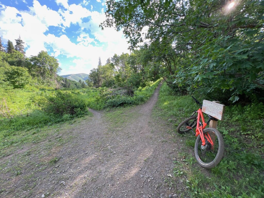
We rode Long Loop as part of a bigger multi trail ride, starting at the Top junction with Bicentennial in July, 2023.
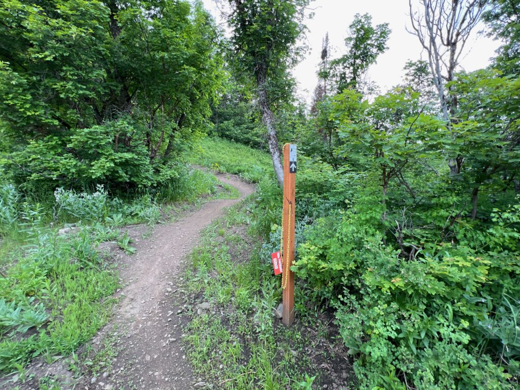
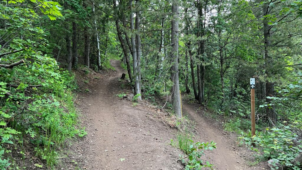
This is a very fun trail with some good flow in sections. Although at the top there are a few short uphill climbs with some rocks and roots (and one in particular that feels like the trail builders went out of their way to incorporate a root to give you a bit more challenge). Long Loop is more like the old school singletrack trails of the 80’s and 90’s with flat turns and the trail is pretty narrow. This trail is not like the newer, machine cut, wide and bermed trails we have seen lately in North Fork Park, and that is not necessarily a bad thing. It can be difficult to see where the trail goes and some of the turns and switchbacks will sneak up on you. This trail does tend to become more overgrown with vegetation which is why it can be difficult to see the turns before you are on them. Just keep your speed in check and you should be fine. While everyone else is riding Spork, this is an excellent alternative. Throw in a lap on Cutler’s Twist for two of our three favorite downhill trails in North Fork Park.
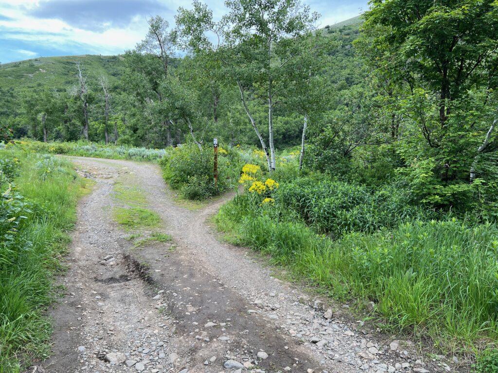
You will cross the North River Trail Double Track two times before you start riding more eastward. Once you pass the second junction keep an eye out for a hidden rock skinny feature on the right. I didn’t notice this until I rode the trail a second time. Again, this is due to the taller and thicker vegetation on the side of the trail right after a turn. After a short while you will cross the North River Trail for the third time, the trail goes uphill for a bit and then becomes a mix of uphill and downhill rides, with no long stretches of either. You will notice a big change in vegetation in this section, especially the tall pine trees and sections of pretty lush green foliage. This section will be mostly in the shade as you are riding on a north facing slope. This is a very pretty part of the trail with the North Fork of the Ogden River below to your left.
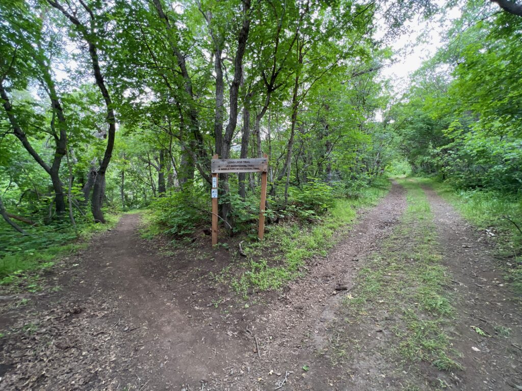
When you reach the ‘S’ curve you are just about done with Long Loop and will find yourself back on Bicentennial for a very short distance until you reach the junction with Traildemic and North River Trail again. Keep going straight to ride up Traildemic or go left to return to Cutler’s Flat via North River Road.
We quite enjoyed riding this trail, although getting there is a bit more of a challenge with all of the climbing. With a 993 foot descent unfortunately there will be some climbing on other trails to get to the top.
To get to Long Loop there are several options. We recommend riding downhill on Long Loop for sure, whether you ride up Long Loop to get to the top and then turn around and ride it back down as an out and back, or using one of several trails in the North End of the park to get to the top of Bicentennial. The first time we rode Long Loop we rode up Bicentennial from the North River Trail (see our review here). This option would probably be our last recommendation as the climb up Bicentennial is pretty stout and technical in several places.
If you park at the North River Trailhead, you can ride up past the gate on the south side of Cutler Flats campground (west of the entrance road) and look for the steep climb to get to Cutler’s Twist and Connector trail junction. You will be pushing your bike up this steep hill due to the loose gravel and large rocks. From there ride up Cutler Creek to Bicentennial. See full map and directions for this option here.
Another option that will add a bit more elevation and more mileage would be riding up Traildemic to Cutler Creek and then up Cutler Creek to Bicentennial and then the short distance on Bicentennial to the Long Loop junction. After you cross the bridge the trail does get a bit steeper but does not have the rocks and roots like the lower section of Bicentennial, which makes for a much easier climb. We plan to try riding up North River trail to Bicentennial Middle and then up Bicentennial to see if we like that any better, but out of the 2 options we have tried we do recommend
Max elevation: 6309 ft
Min elevation: 5790 ft
Total climbing: 484 ft
Total descent: -993 ft