
The Riverdale Flow Trail is a series of Trails that runs between the railroad tracks and the Weber River Parkway Trail. The trail starts at the disc golf course into the trees and then continues until it reaches its furthest eastern point near the Weber River.
There is no single main trail – the trail splits and merges back to itself many times. Some of these splits lead to some fun sections of trail.
Don’t let the stats fool you – the Riverdale Flow Trail is pretty flat. The elevation gains and losses are from very short climbs and descents that are found throughout the trail. The initial 100 foot climb at the beginning of the trail was likely a GPS issue – the trail starts off very flat. I plan to ride it again and redo the GPS readings.
Overall this is a fun trail for families and beginners. The trail is a mix of open and shade sections with some of the shade in deep dense tree cover that feels like a tunnel. This trail is subject to major overgrowth, especially in the spring that requires frequent maintenance. Don’t hesitate to bring some clippers, a weed eater or other trail tools and help pitch in.
Riverdale Flow Trail Map
Max elevation: 4405 ft
Min elevation: 4281 ft
Total climbing: 765 ft
Total descent: -677 ft
Directions to Trailhead
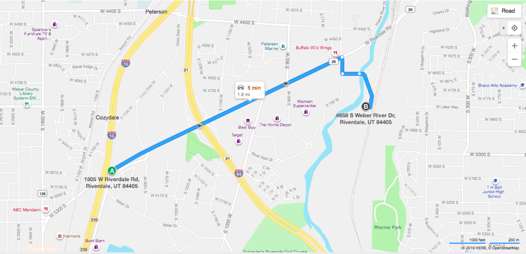
From I-15 take the Riverdale Road Exit and travel East to 700 West. Turn South on 700 West then take the first street on the left. Follow that road around as it passes the Riverdale City building. The trailhead parking is near the end of the road by the pump track.