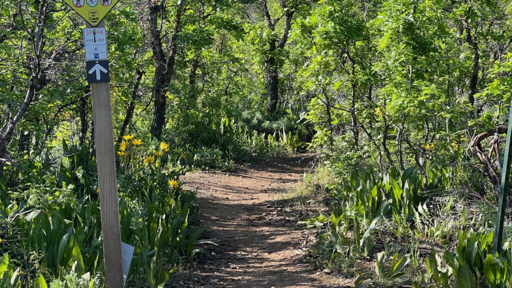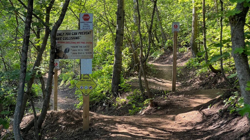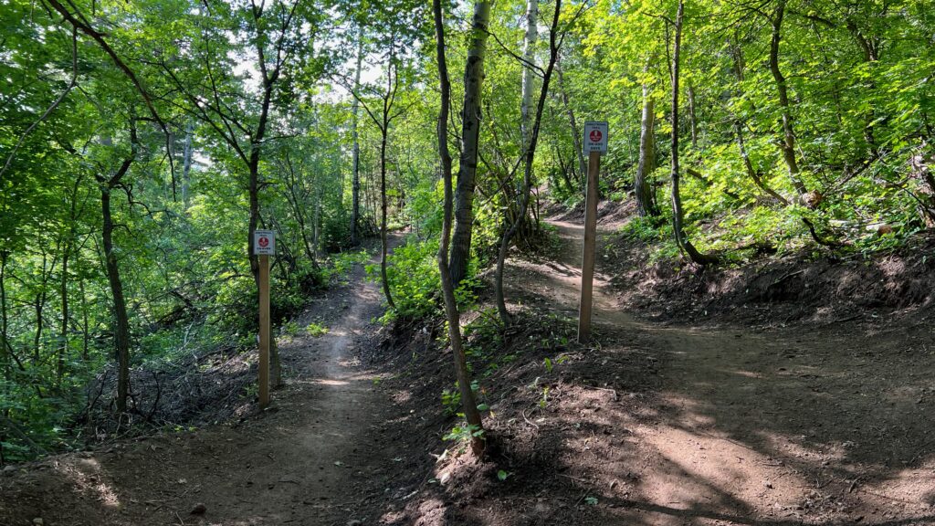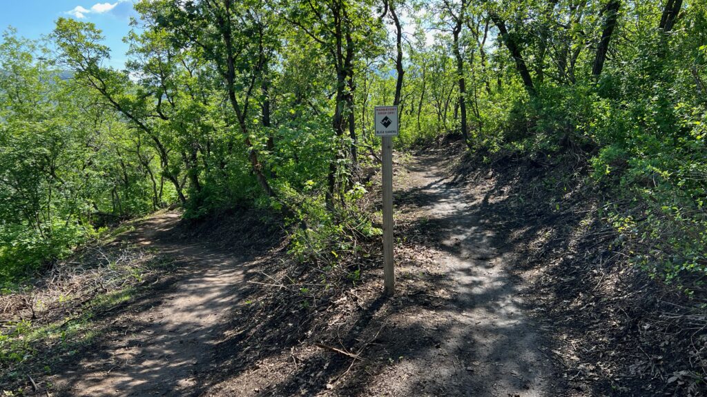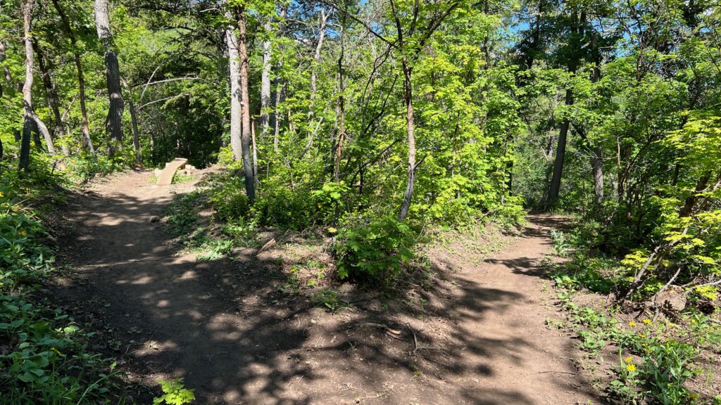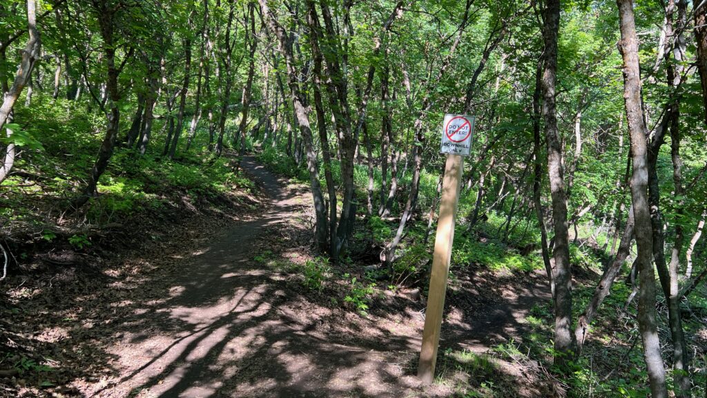
Spork is a new trail that was constructed in the year 2022 on the south end of North Fork Park. The trail begins about a half mile from Trail 365. This trail is designated for mountain bikes only and is directional. On odd days the trail runs counter clock-wise (go Right at the fork). On even days it runs clockwise (go left at the fork). There is excellent signage at the fork and should help prevent collisions – at least of the head-on type.
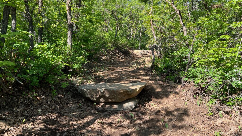
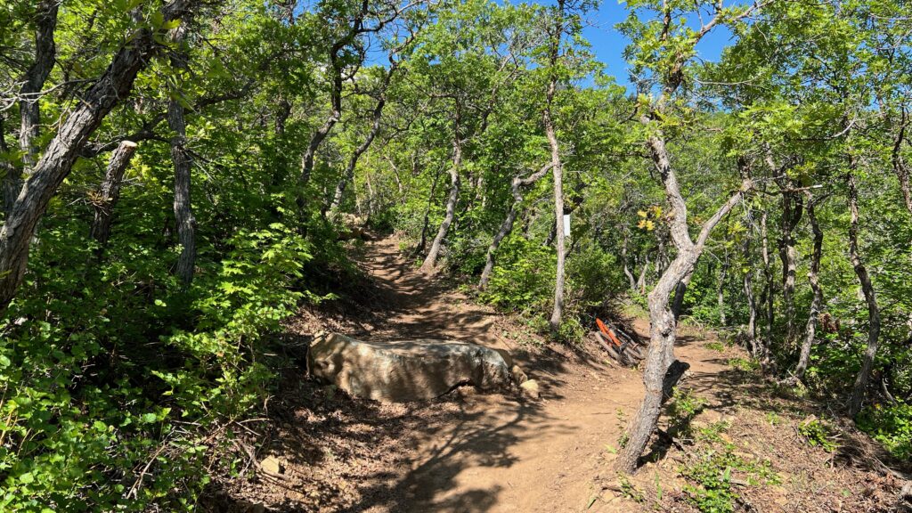
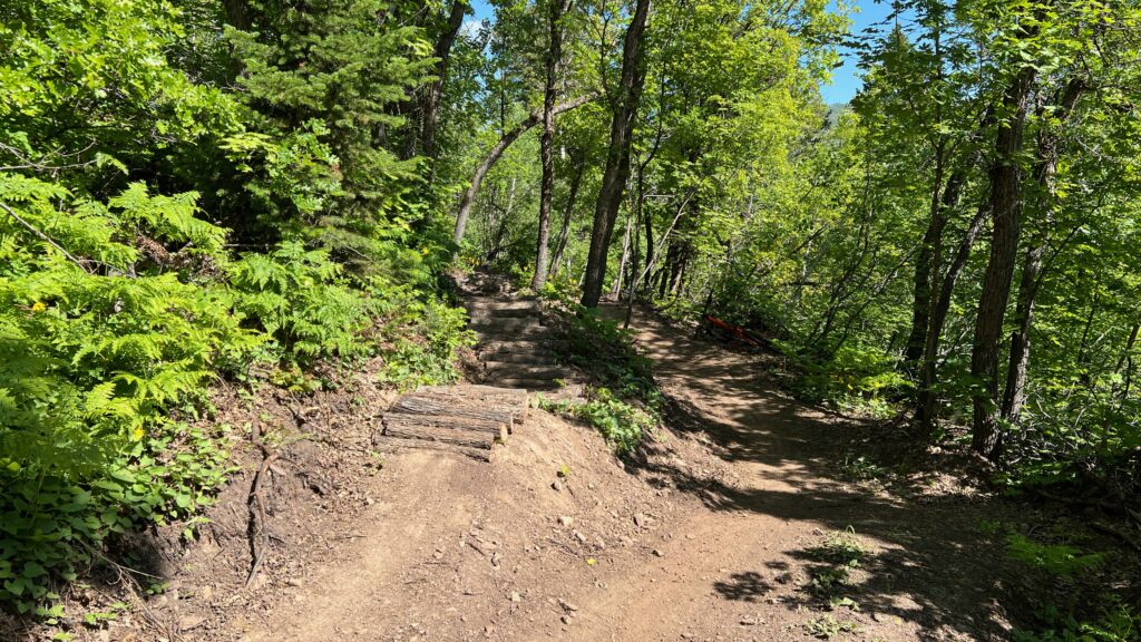
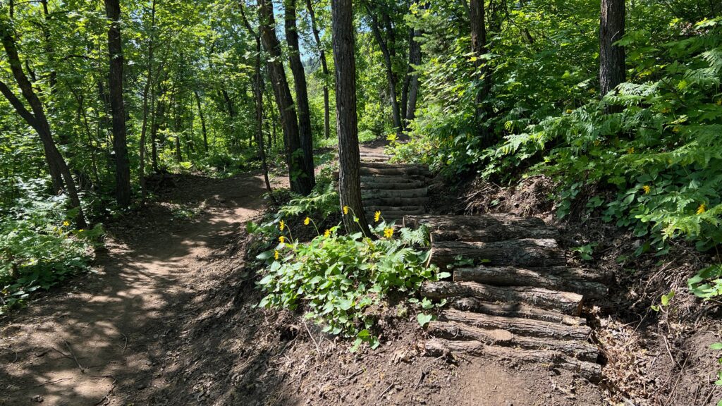
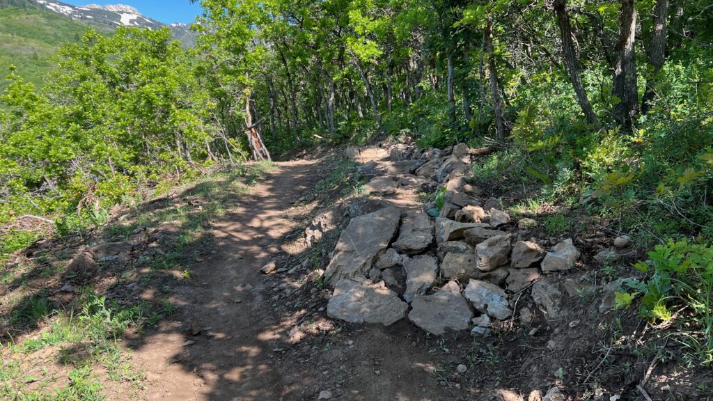
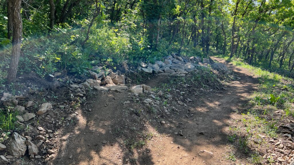
Overall the trail is very well built. The trail is wide and the switchbacks are well designed with high berms to make for smoother and faster corners. There are several options with more advanced features and appropriate signage is found to help navigate. One thing is for certain – your dropper post will get a workout. The trail transitions between climbs and descents quite a bit in both directions.
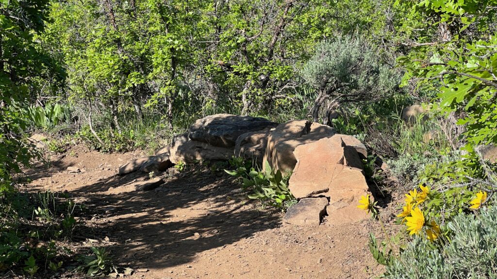
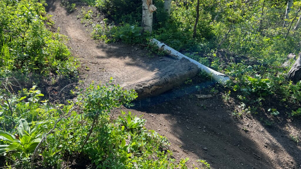
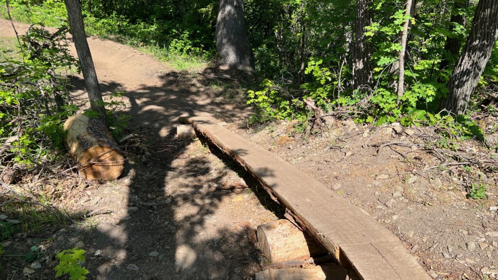
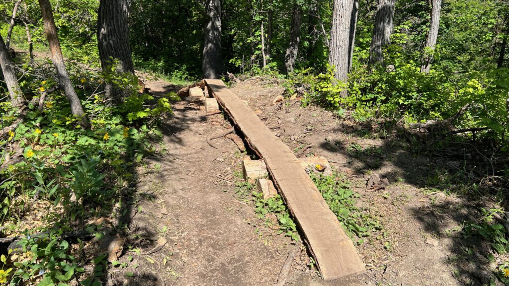
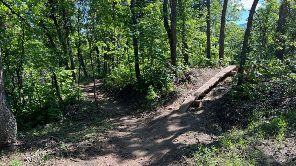
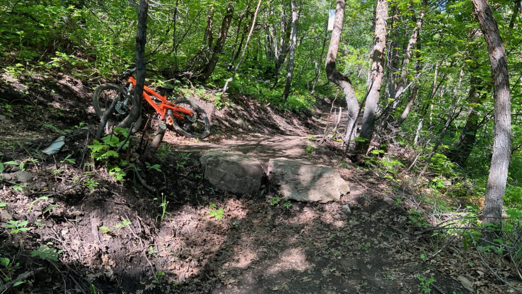
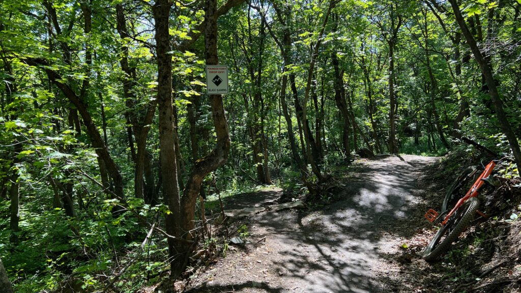
There are a few side shoots that contain “mandatory drops”. Most of these vary in height and most do have ride-arounds. As always, it is best to check them out before you ride – make sure you know what you are getting into. The signs indicate these are expert lines, but we would classify them more as intermediate. Most of the drops are less than 2 feet high.
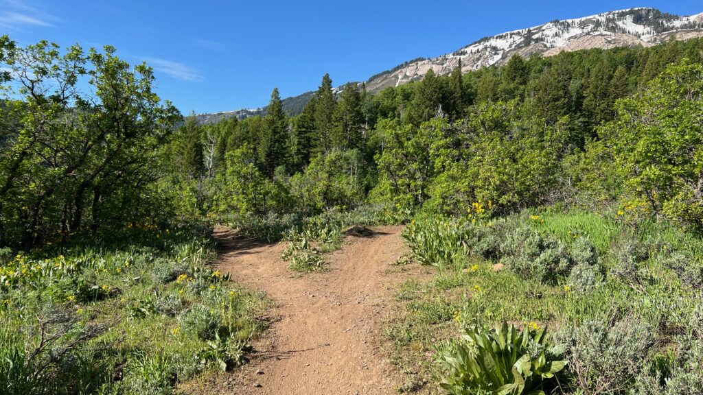
This trail is very popular, but that may be partially due to how new the trail is. We encountered quite a bit of traffic, but due to the one-way nature it was very easy to allow other bikes to pass due to the wide trail throughout. As you ride you will pass through many different zones of vegetation from scrub oak to Aspens and pines as well as a few sections that are exposed with minimal trees. We even encountered a moose on the trail on our first ride of the trail. You might catch a glimpse of it at around the 2:00 mark in the video below.
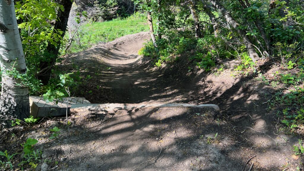
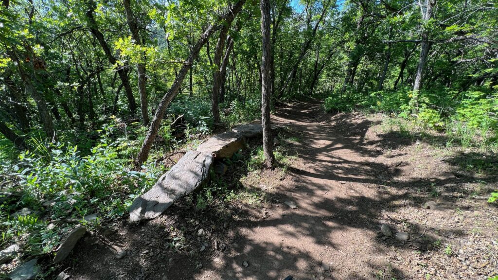
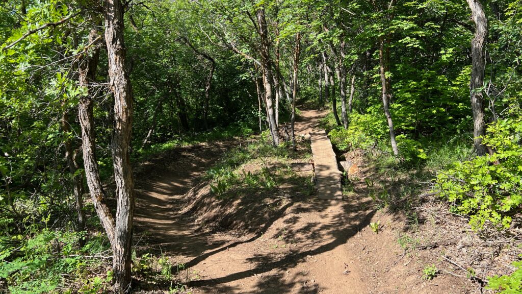
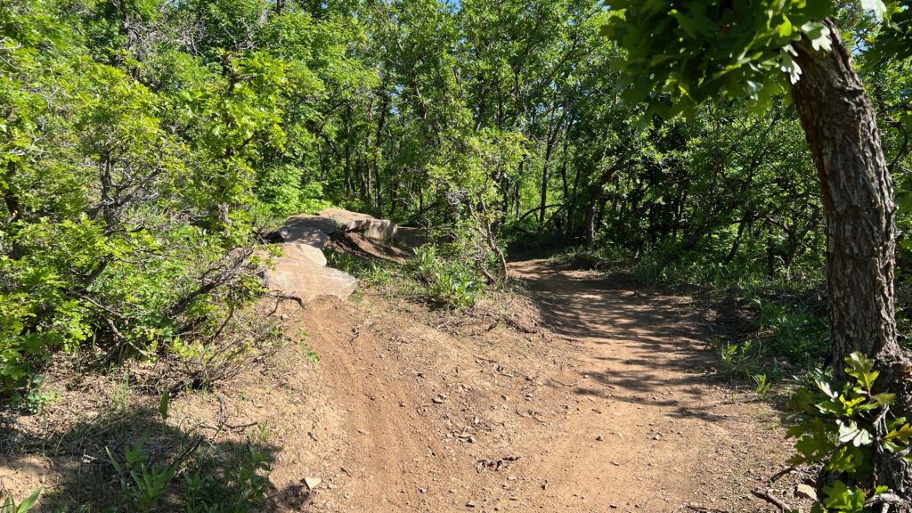
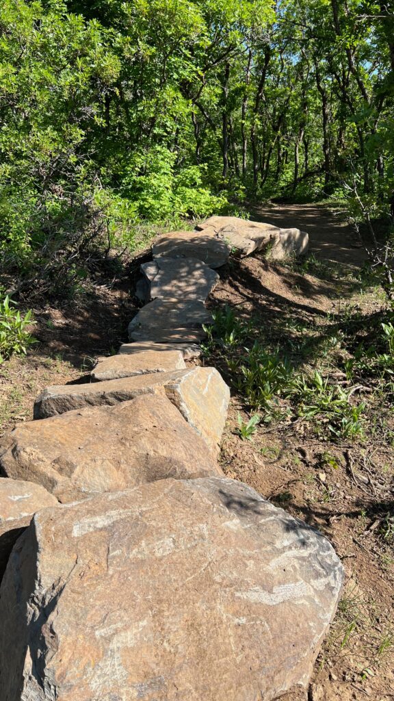
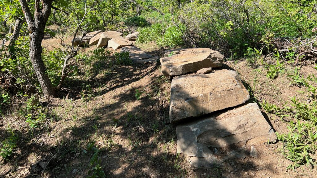
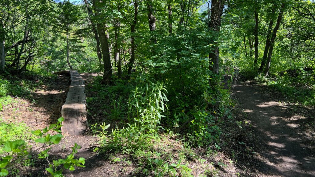
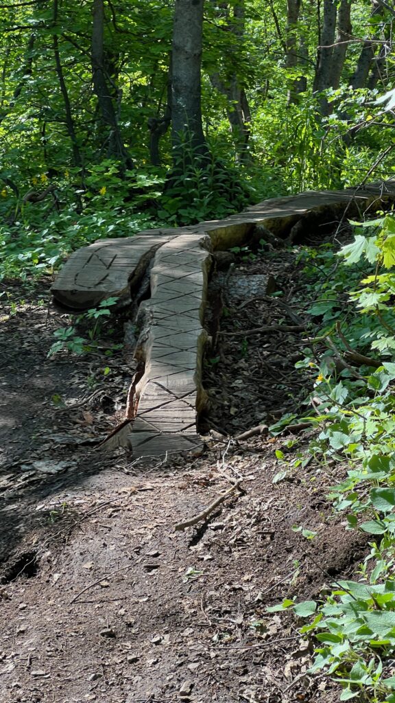
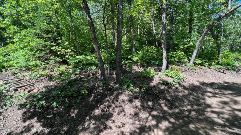
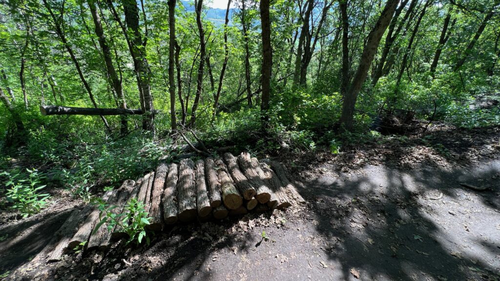
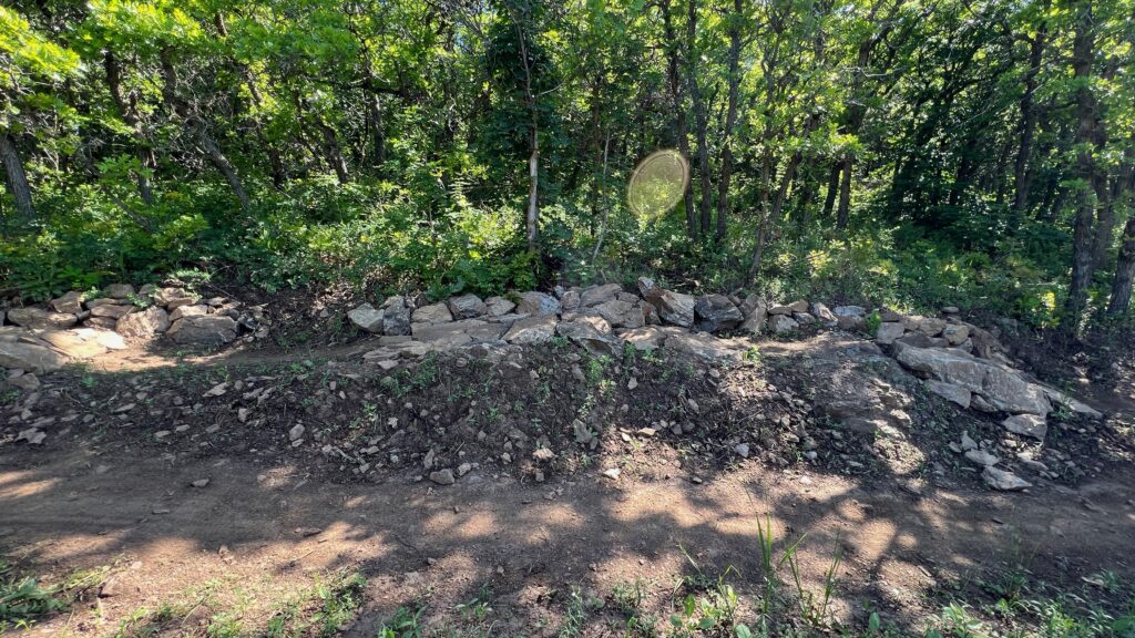
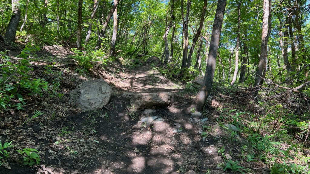
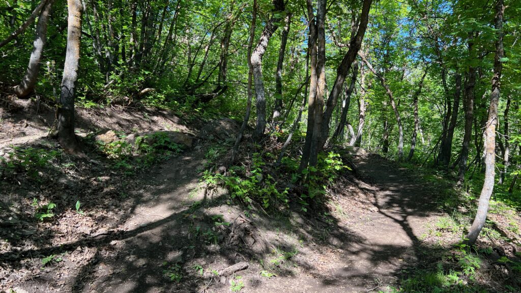
We are also including a photo gallery that shows the important trail sections and optional features. Be sure to check them out.
Odd Days (Right fork at trail intersection)
The trail begins with an uphill ascent that does seem to go on and on. While the net difference in elevation from the lowest to highest is only 332 feet, overall the ride gains over 1700 ft of elevation, but it is spread out with a few downhills mixed in. Most of the trail is uphill for the first 3 miles with a few short downhill breaks along the way. There are a number of features such as Rock Skinny lines, timber skinny lines and a some drops.
There are a few short and somewhat steep climbs but nothing that can’t be managed by most riders in decent condition. As we were trudging our way up the first half of the trail we kept commenting that it would be a lot funner on even days. Looking at the elevation profile below it seems that the odd days have a shorter but steeper climb with around 580 ft in the first 1-1/2 miles, followed by a much needed but much too short break of downhill and then another uphill push before you are mostly downhill for the remaining ride having a few short uphill blasts.
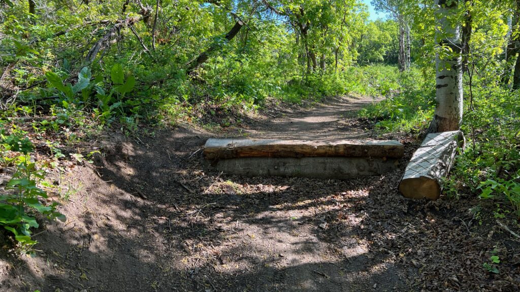
Once you reach the top there is a bench for you to stop and catch your breath before you begin the downhill section. There are a few fun switchbacks that also dodge, dip, dive, duck and dodge. Some of the switchbacks are so well designed that you feel like you are riding on a roller coaster.
There was a tree that was pushing out from the side of the trail that we felt like might be a potential collision so beware as your are coming down in the last half and watch for it. One advantage for even days is most of the uphill is in the shade. Evening rides, especially in the cooler spring and fall will be very pleasant as well.
Even Days (Left fork at trail intersection)
Even days the trail is a little less steep, but the climb is longer. If the odd days climb seems to go on and on, the even days climb is even longer. Again, as you are climbing you are making note of what sections will be fun on odd days and likely planning a return visit soon. More of the trail is exposed to the sun in the morning hours whereas the Odd days more of the trail is in the shade on the climb. It seems there are more features that are either dedicated to even days, or are better set up for even days. There are 3 drop sections on even days but only 1 drop section on odd days.
If we had to pick which we liked better it would be a tough call. Good thing there is a ton of camping at North Fork Park – if you don’t live nearby you can spend the night and do the trail back to back and decide for yourself.
Trail Map (elevation profile from an Odd day)
Max elevation: 5854 ft
Min elevation: 5522 ft
Total climbing: 1729 ft
Total descent: -1716 ft
How to get there
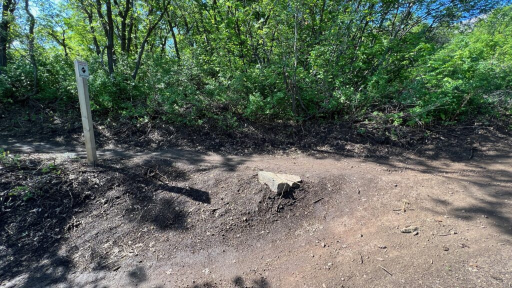
To ride Spork, start on Trail 365 and ride approximately 1/2 mile from the trailhead. Look for the junction on the left. Once on Spork, you will ride an additional 1/2 mile until you get to another Junction where the trail splits into the 2 different directions based on if the day is odd or even. There are several signs in the area that help to make sure it is clear to riders.
Directions to Trailhead
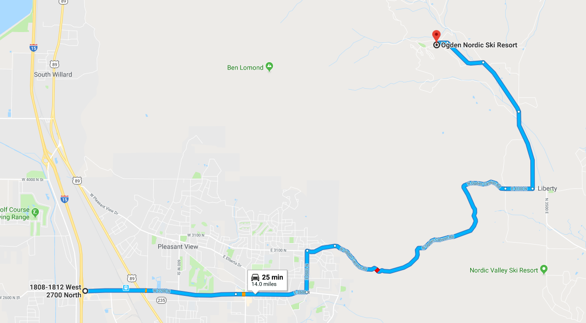
- From I-15 take the Ogden 2700 North exit and travel East to 1050 East (2700 North becomes 2600 North)
- Turn Left on 1050 East and proceed to 3100 North.
- Make a Right turn on 3100 North and follow the road up and over the North Ogden Divide to 3300 East
- Turn Left on 3300 East and continue to the North Fork Road split
- Go Left at the North Fork Road Split and continue to 5950 North
- Turn Left on 5950 North and drive until you see the Yurt near the gate for North Fork Park. Park in the parking area by the Yurt and look for the trail on the left as you start on the dirt road toward the baseball field at the south end of the parking lot
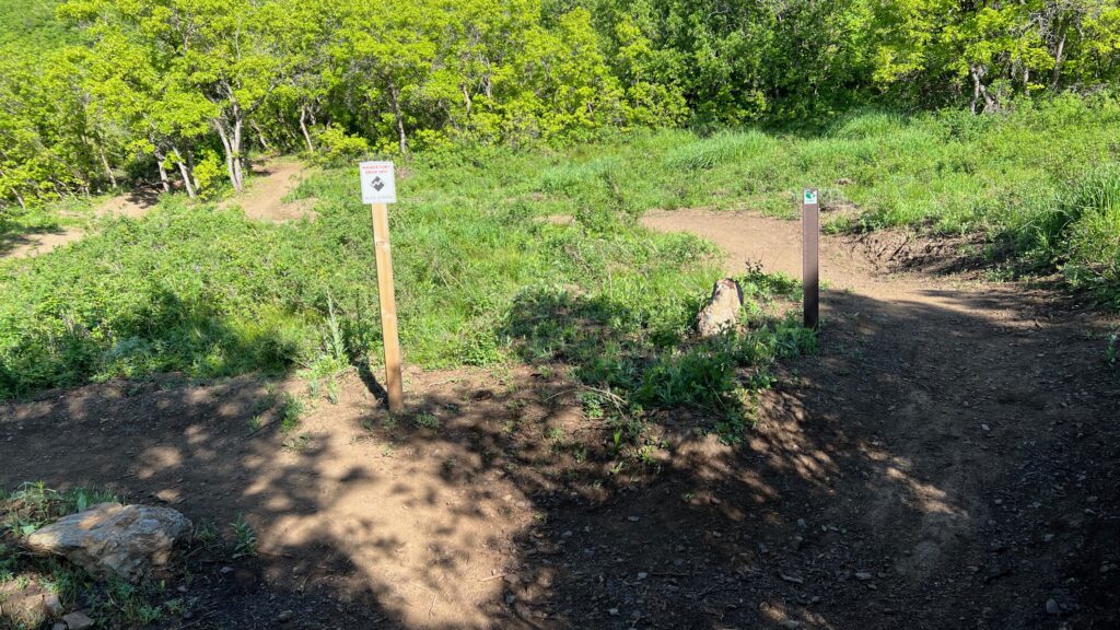
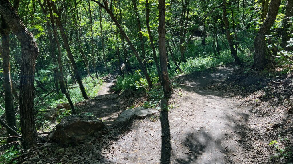
Photo Gallery