
The Antelope Island Eastside Trail runs along the Eastern Shore of antelope Island. The trail is relatively flat and starts near the Causeway and goes to the Fielding Garr ranch. the trail is poses a few boulder challenges and is a bit of a roller coaster ride. However, most of the climbs are not long nor extremely steep. The official end of the trail is at the Fielding Garr ranch, however, you can always turn around at any time.
Trail Map
Total distance: 11.3 mi
Max elevation: 4331 ft
Min elevation: 4208 ft
Total climbing: 699 ft
Total descent: -679 ft
Max elevation: 4331 ft
Min elevation: 4208 ft
Total climbing: 699 ft
Total descent: -679 ft
Directions to the Antelope Island Eastside Trail Trail Head
- From I-15 take the Layton Antelope Drive exit and turn west
- Continue driving west until you reach the causeway. there is a fee to enter the Island
- Drive along the causeway (you may want to hold your breath for the first mile or so) until you reach the island
- Take the left fork when you reach the island
- Trailhead is near the next fork in the road
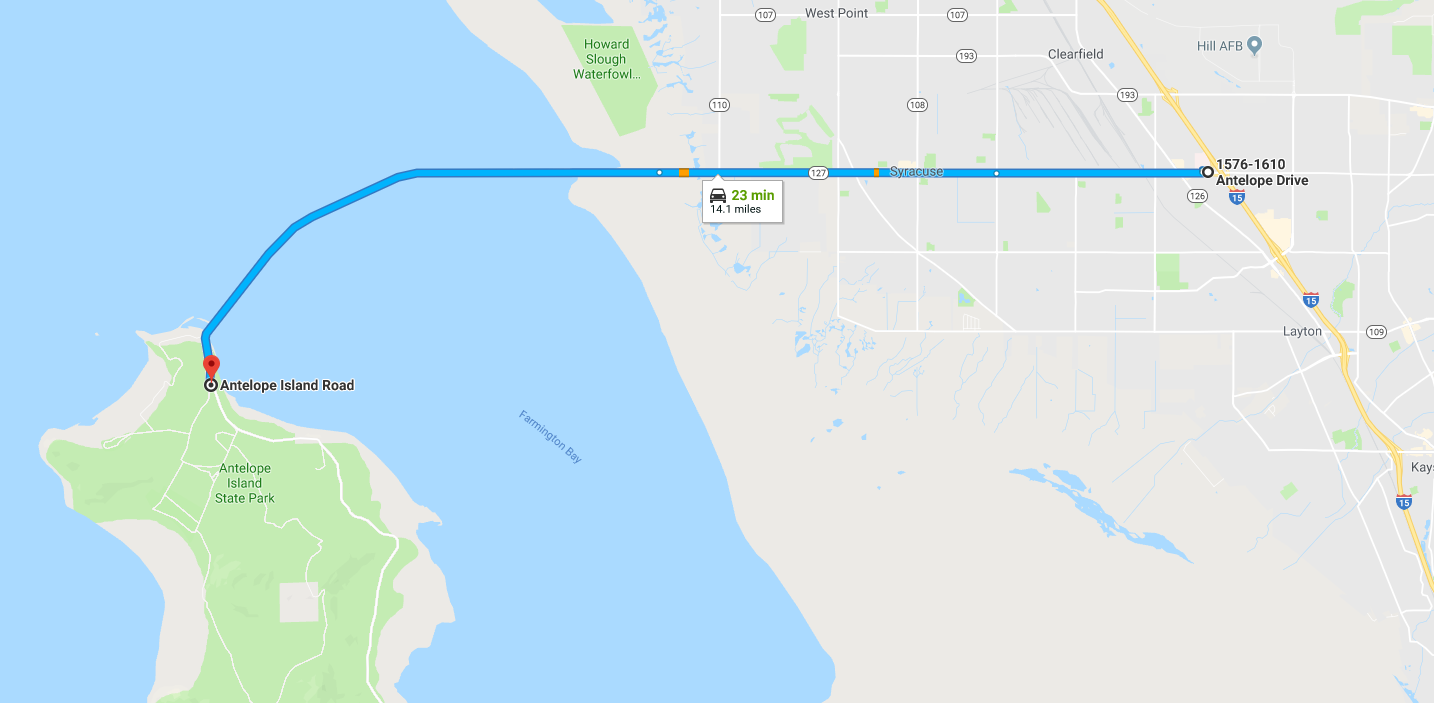
Map to the Antelope Island – East Side Trail
Additional trail info, obstacles, etc
There is quite a bit of wildlife on the island including large bison. Bison can be very dangerous so if you see them on or near the trail do not approach them. Be sure to check in at the visitors center for information on what to do if you encounter them on the trail.