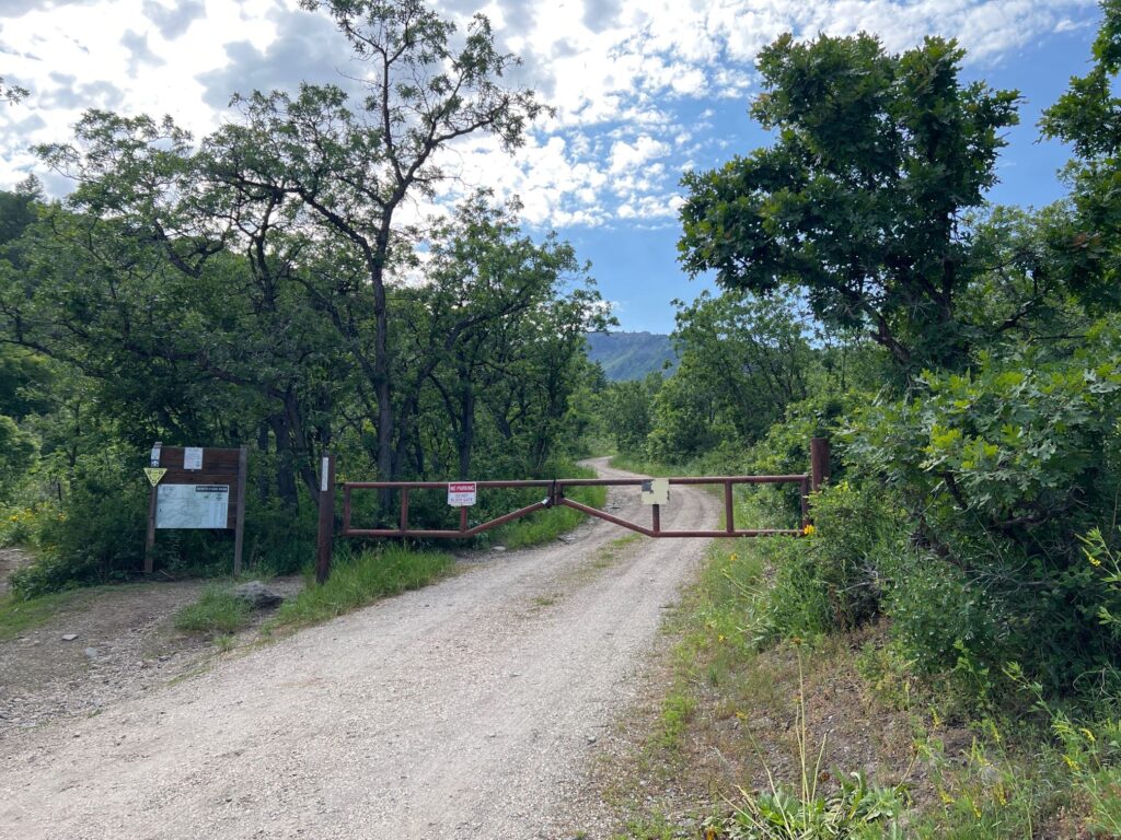
Cutler Creek is a short double track road that is primarily used to access a few yurts, as well as Bicentennial, Traildemic and Cutler’s Twist. It begins at the top of the north entrance road near the Mule trailhead and intersects with Connector right at the beginning.
The trail itself is wide and mostly smooth. It is a little loose at the beginning, combined with a little bit of climb that makes it a little harder, but overall we rate this trail as easy. Most traffic for this trail will come from users connecting to other trails in the north end of the park. It is a pretty trail that we rode to get to the west end of Bicentennial and then on to Long Loop. Cutler Creek is a mix of uphill and downhill riding and parallels the stream for which it is named. This could be a good trail to take you kids on, then let them play in the stream along the way or perhaps pack a picnic lunch to share at the end of the trail.
When we rode it in July 2023 there was a section of trail that had water running down it from the record snowfall melting. Even though the trail itself is not anything spectacular, it is an important addition to the park for connecting the other trails to each other. The trail does continue west past bicentennial but ends shortly after. We prefer to use this trail to get to the top of Bicentennial as it is much easier than other options to get to the top. From there you can opt to either ride down Long Loop (Highly recommended!) or Bicentennial (No thank you). Overall the trail gains 221 feet of elevation, although with the mix of up and downhill riding the actual elevation gain is around 379 feet with 168 feet of elevation loss that you have to gain back as you continue. Riding back you will lose the 379 feet with a gain of 168 feet.
The stats are for one way from the bottom of the trail to the Bicentennial junction – if you are riding to the top and back the actual distance will be slightly longer. We measured 0.9 miles to the junction with Bicentennial and the North Fork Park trail maps indicates the trail is 1 mile long overall (2 if you ride to the top and back).
Max elevation: 6178 ft
Min elevation: 5959 ft
Total climbing: 379 ft
Total descent: -168 ft